
Walk an Independence Street
A useful street directory is built parcel by parcel. The Kenton County Property Valuation Administrator, or PVA, identifies land by its parcel ID number, called a PIDN, and displays a situs address. Situs means the physical location of the parcel. Ownership is not the same as occupancy, so an owner result is the first link, not a final answer. The county clerk's deed index, city permit reports, voter rules, old directories, and newspapers can then test what the parcel result suggests.
- Enter the number and street name in the Kenton PVA Property Search. Save the PIDN, situs address, owner, subdivision, lot, and any deed reference.
- Open LINK-GIS or the county land-record map. Click the target parcel and adjoining lots, then compare roads, city limits, buildings, and address points.
- Use the current owner's name in the clerk index. Read the deed image for the legal description and the prior grantor, the person or entity transferring the land.
- Check public voter information only through the access Kentucky permits. The free state lookup requires a person's name and birth date and cannot browse a street.
- For an older household, turn to the Kenton Library's regional street sections, newspapers, census schedules, and microfilm. Record the edition year and community label.
This chain separates facts that are often blurred. A parcel result can establish assessed ownership. A deed can establish a recorded transfer. A printed directory can show that someone was listed at an address in one edition. None alone proves the present household.
Keep a short source log while moving down the road. For each parcel, note the exact search form used, the date checked, the PIDN, the displayed street form, and any deed book or page. Preserve conflicting details instead of choosing the most convenient one. An assessment may use a current situs address while an older deed uses a tract name, and a directory may shorten the road. Those differences are often the key to matching the same land across systems. When the goal is a whole street, sample parcels at intersections, subdivision entrances, dead ends, and the city boundary. That gives better coverage than assuming every lot follows one numbering pattern.
Search Independence Parcels by Address
The PVA interface does not offer a one-click list of everyone on a road. Its Property Address tab splits the house number from the street name. Repeat the search for known numbers, or use map browsing when the goal is a whole block. Alternate tabs help when a road name changed or a result is hard to match.
| Search route | Fields | Best use |
|---|---|---|
| Property Address | Number; Street Name | Find one physical parcel |
| PIDN | Parcel identifier | Return to an exact parcel |
| Owner Name | Last Name; First Name | Find assessed property by owner |
| Deed Reference | Book; Page | Match the assessment to a recorded deed |
| Subdivision | Name; Section; Lot | Bridge a plat or legal description |
Results show the PIDN, parcel address, and parcel owner. Additional records may contain mailing address, assessed values, year built, sales data, and property traits. Some detail or history can require KCOR access. The PVA values property; the county clerk remains the source for legal title documents.
Map Independence Streets in LINK-GIS
LINK-GIS turns one address into a visual street search. Search by address, PIDN, or owner, select the suggested parcel, and inspect its popup. Useful layers include parcels, buildings, roads, aerial images, zoning, flood zones, voting precincts, city boundaries, and address points. Panning to each adjoining lot is more reliable than assuming that house numbers rise in perfect order.
The regional LINK-GIS viewer shows the controls used to find parcels and switch local map layers.
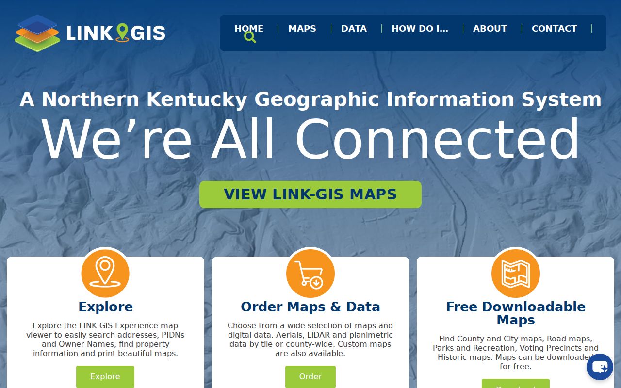
The viewer helps identify which parcels touch a road and whether a postal Independence address falls inside the city line. Its map is not a legal survey. Confirm boundaries through the recorded plat and deed.
- Parcel
- A separately identified tract of land in the assessment and GIS systems.
- Situs address
- The physical location assigned to the parcel, distinct from the owner's mailing address.
- Plat
- A recorded drawing that sets out lots, blocks, streets, and related boundaries.
- Criss-cross directory
- A directory arranged by street and number instead of only by a person's surname.
Read Independence Deeds by Street
Once the PVA supplies an owner and deed reference, use the Kenton County Clerk's land-record index. Search the present owner as grantee, meaning the party receiving property. The deed's grantor is the party transferring it. Record the date, kind of document, book, page, document number, legal description, and image status. Then search that grantor as a grantee in an earlier span.
The Kenton County public index provides Land Records, Marriage Index, Tax Bill Inquiry, and help routes.
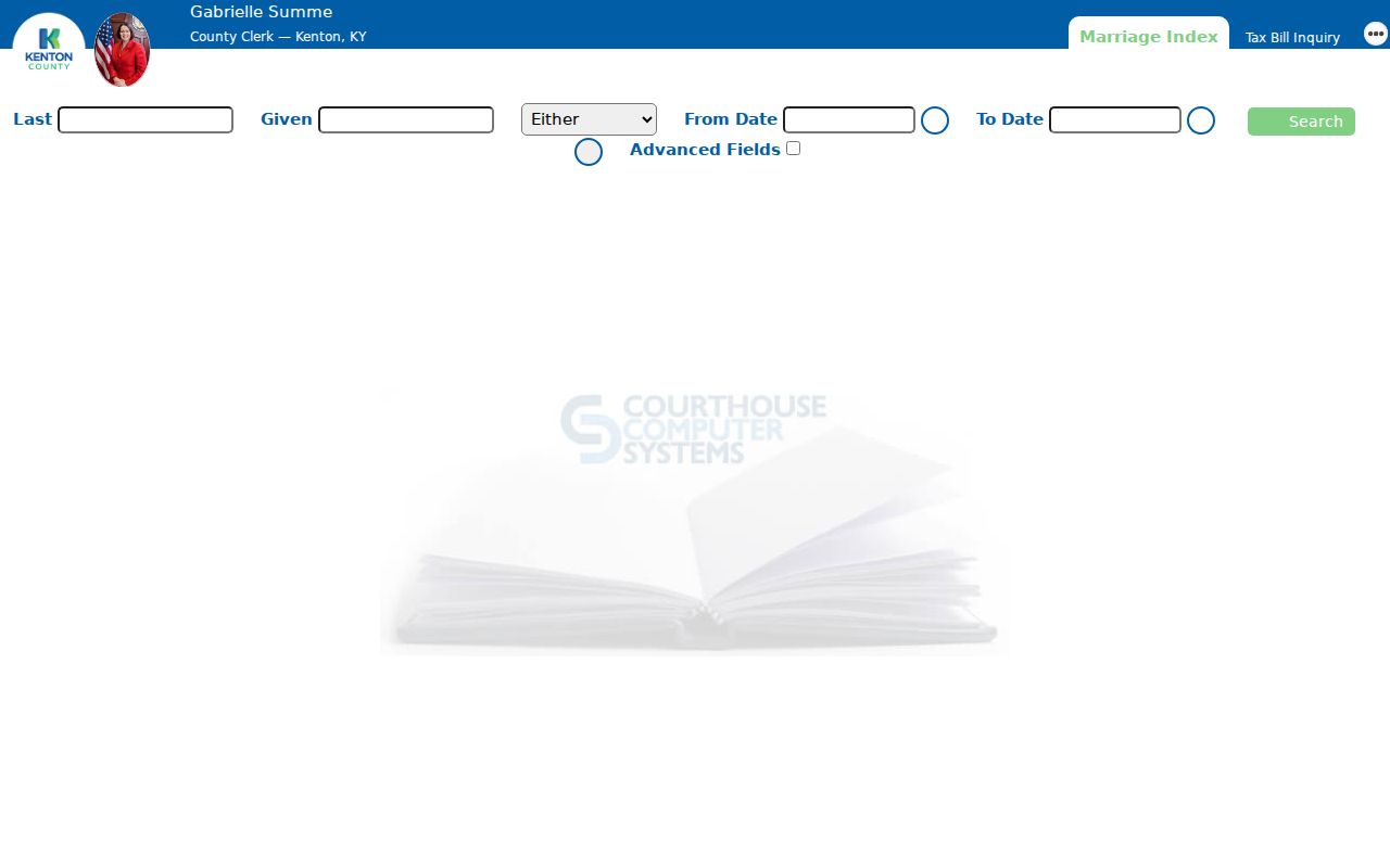
The captured landing screen is only the entrance. Search help documents party type, date ranges, document types, book and page, descriptions, similar-name controls, and sortable result fields. A deed name should always be tied back to the parcel and legal description.
Cross the May 1991 Cutoff
KCOR's online real-estate coverage begins in May 1991. That boundary is a handoff, not the end of an Independence street directory search. The Historic Kenton County Courthouse at 5272 Madison Pike has the older Independence series, with Real Estate No. 4 covering 1978–1991, No. 3 covering 1946–1978, No. 2 covering 1911–1947, and No. 1 covering 1840–1917. Overlap is useful when names or index practices changed.
Older records can also be reached through public inquiry computers, index books, county record rooms, and Kenton Library microfilm. The clerk's main real-estate record room is at 1840 Simon Kenton Way in Covington. The two county seats create two practical research stops. Call the real-estate office at 859-392-1650 before a visit, especially when a fragile book may have access limits.
Local tip. Carry the legal description and book/page across the online cutoff; a modern house number may not appear in the older index.
Independence Street Record Coverage
Each address-keyed source answers a different question. The following coverage table keeps ownership, mapping, construction, registration, and historical listing evidence separate. Access also varies. Some records are free online, some require a visit or written request, and some products are limited by law.
| Record Set | Keeper | What It Shows | Access |
|---|---|---|---|
| PVA parcel record | Kenton PVA | PIDN, situs, assessed owner, selected property data | Free basic search; some detail through KCOR |
| GIS parcel map | Kenton GIS and LINK-GIS | Parcels, streets, structures, boundaries, and map layers | Free viewer; not a survey |
| Deeds and plats | Kenton County Clerk | Transfers, legal descriptions, book/page, and parcel layout | Online from May 1991; older books and microfilm |
| Voter information | State Board of Elections and county clerk | Specific public registration fields under Kentucky rules | Name and birth date lookup; bulk products restricted |
| Permit records | Independence and PDS | Address-linked applications, work, or inspection records | Monthly PDFs, office request, or KORA |
| Regional directories | Kenton Library | Historical names and addresses when a volume covers Independence | Digital, print, and microfilm volume by volume |
The PIDN and legal description are the strongest joining fields between property systems. Street names connect permit reports and old directories, but spelling, road suffixes, and former community labels can change. The voter system is not a general street browser, so do not promise a household list from the free lookup.
Access channels also affect what can be verified. Begin with free PVA, GIS, and clerk index screens, but use the Independence or Covington record room when an image is missing or the date predates online coverage. Library staff can help locate microfilm and regional volumes. A written KORA request is most useful for a narrowly described city or PDS record that is not exposed through a public result screen. Include the physical address, parcel number, record type, and date span so the custodian can distinguish the request from a demand for a private household roster.
Independence Permit Records by Address
Construction records add dates and work types to a parcel trail. Independence Building and Zoning publishes monthly permit-report PDFs, with reports listed from January 2025 through June 2026 when researched. The forms cover additions, decks, pools, demolition, HVAC, sheds, signs, encroachments, and inspections. The Citizen Portal is an application route, not a verified public archive of completed results.
If the monthly report does not answer the question, send a focused request to the city clerk or Planning and Development Services. Include the site address, PIDN, permit type, and date range. Kentucky Open Records Act requests may be delivered, mailed, or emailed through the documented office routes. PDS also accepts requests at its Covington office and may send copies by mail or email. The custodian response schedule is five business days, though production can take longer.
Madison Pike Name Changes
A street search can fail even when the record survives. Madison Pike has appeared as Independence Turnpike, Independence-Colemansville Pike, State Road, and Main Street. Search each form in deed descriptions, regional directories, historic maps, and newspaper indexes. Use intersections and adjacent owners when house numbers are absent.
Boundary changes create a second trap. Independence annexed Cherokee in the 1960s, Beechgrove in the early-to-mid 1970s, and land west to the Boone County line in 1981. A present-day Independence parcel may appear under an older settlement, rural route, or county label. No official citywide street-renumbering list was found, so a street directory search should bridge uncertain addresses through the PIDN, subdivision lot, plat, and deed description.
Older Independence Streets on Shelf
Historical street-by-street work moves to the Kenton County Public Library. The regional Williams volumes are titled for Covington, Newport and Vicinity, with editions represented in 1834, 1839–1840, and various years from 1856 onward. “Vicinity” does not guarantee that every edition includes Independence. Check the street section and community headings in each volume.
Copy the numbered entry, then find that name in the alphabetical part. Marks such as “h” for home and “bds” for boarding or lodging can help interpret the listing. The full historical shelf, publisher runs, and entry keys are treated on the Independence city directories page. The Northern Kentucky Newspaper Index, census schedules, and deed books can verify whether a listed person fits the same place and year.
Limits of Independence Street Records
Property records identify assessed owners, not every occupant. A mailing address may point to an out-of-county owner, estate, business, fiduciary, or tax agent. It should never be substituted for the situs address or treated as proof that a person lives there. Renters, adult family members, guests, and other occupants may not appear in any open address index.
Kentucky's free voter lookup is designed to confirm a known person's registration and polling details. It requires legal first name, last name, and date of birth, with an optional partial identifier. Street-order and household label products exist under election rules, but full voter-file access is restricted to qualified political requesters. Social Security numbers, email addresses, and protected address details are not public. Safe at Home participants use substitute addresses that must not be reverse engineered.
Lawful use. Use Independence address records only for lawful personal research, and never to stalk, harass, intimidate, or expose a protected person.