
Independence ZIP Code Coverage
The best-supported postal anchor for Independence is 41051. City Hall, the USPS Independence Post Office, and the Census ZIP Code Tabulation Area all use that number. Research found no second official USPS city-and-state ZIP for addresses labeled Independence. Nearby post offices are useful for edge-address checks, but their postal codes should not be presented as extra Independence ZIPs.
| Postal Code | Areas Covered | Post Office | Notes |
|---|---|---|---|
| 41051 | Independence postal area; Census ZCTA also includes places beyond the incorporated line | Independence Post Office, 5106 Madison Pike | City and ZIP boundaries do not coincide |
| 41094 | Nearby Walton postal area | Walton | Not a confirmed Independence ZIP |
| 41091 | Nearby Union postal area | Union | Use USPS for an exact edge address |
| 41042, 41018, 41048 | Nearby Florence, Erlanger, and Hebron postal areas | Neighboring post offices | Not additional confirmed Independence ZIPs |
The 41051 ZCTA had 31,582 people in the 2020 Census profile, while the incorporated city count was 28,676. That gap is a concrete warning: a ZCTA is a Census approximation built from address patterns, not a USPS delivery polygon or municipal boundary. Statistical sources also associate Nicholson and White Tower with 41051. Those aliases can help a search, but they do not prove an address lies inside Independence.
Verify an Independence ZIP Address
Use the USPS postal lookup when an exact address sits near a city edge. Its By Address mode takes a street address, city, and state. By City and State returns the postal codes associated with a city, while Cities by ZIP returns the city names attached to a ZIP. USPS warns that a ZIP result does not confirm that a person or company occupies the address.
| Lookup mode | Input | Best use |
|---|---|---|
| By Address | Street, city, state | Confirm the delivery ZIP for one site |
| By City and State | Postal city and state | See ZIPs associated with that city label |
| Cities by ZIP | Five-digit ZIP | See accepted postal city names |
For local confirmation, the Independence Post Office page identifies the station at 5106 Madison Pike, Independence, KY 41051-9998, with phone 859-356-3908. That official page ties the station to 41051, but it does not turn all of the ZIP into city territory.
The USPS Independence page shows the station and its postal information.
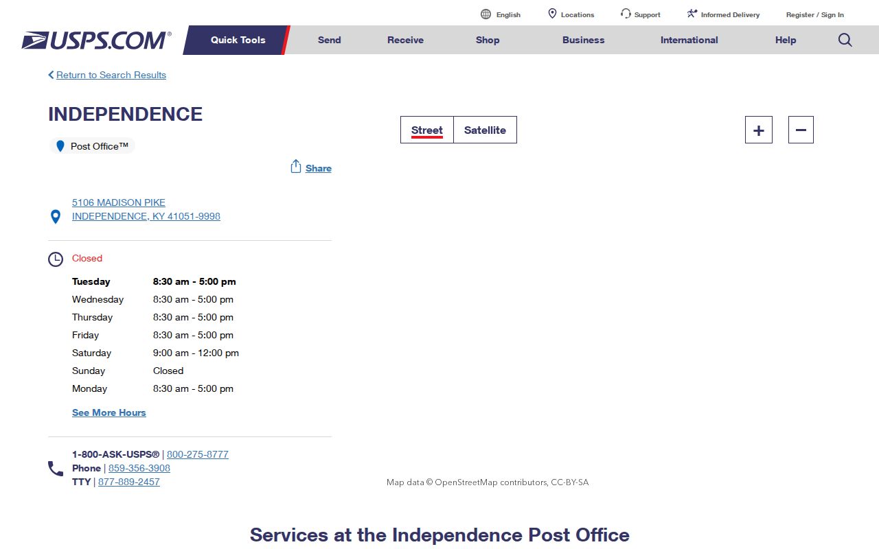
The station record establishes the main postal anchor; an address-level lookup is still needed at the edge.
Find Independence Residents by ZIP
No public official portal supplies a complete 41051 resident list. The PVA search has no ZIP field, and the voter lookup requires a known legal name and birth date. ZIP filters exist in specialized systems, but their results describe only that system's narrow subject. The sound Independence ZIP code directory workflow uses postal geography to narrow the area, then switches to address or name fields.
- Confirm the delivery ZIP through USPS, especially for a boundary address.
- Open LINK-GIS or the Kenton parcel map and compare the address with city and parcel layers.
- Search the PVA by street address, owner, PIDN, deed reference, or subdivision. Do not promise a ZIP-wide result.
- Use the voter tool only for a known person. Detailed household-by-ZIP voter products have restricted access.
Once 41051 has been narrowed to a road, continue with the Independence street directory for the address-keyed record chain. A ZIP result alone cannot show who occupies a home.
Independence ZIP Search Limits
Official systems use different address fields. The Kenton PVA basic form searches parcel address, owner, PIDN, deed book and page, or subdivision. It does not have a ZIP box. The public voter form has no ZIP or county selector. Authorized SBE-84 products can include household-by-ZIP labels, but the detailed voter file is limited to qualified candidates, parties, and specified issue committees.
The Kentucky State Police registry accepts a five-digit ZIP and has ZIP-alert and neighborhood-radius tools. Those results cover only persons in that statutory registry and must never be treated as a directory of all residents. The Northern Kentucky Chamber directory also has a postal-code field, but it lists member organizations. City permits use a site address, deeds use a legal description, and vital records use the place and county of an event. One ZIP filter cannot merge those systems.
Voter geography needs special care. Public voter-list products described by Kentucky regulation can contain a residence address, mailing address, ZIP, precinct, district, party, age code, and five-year participation history. Participation history records whether someone voted, never how a ballot was cast. Household-by-street, household-by-ZIP, and street-order products are not features of the public name-and-birth-date lookup. The current SBE-84 request form also does not print a current fee schedule, so a qualified requester must confirm the price and processing details with the State Board of Elections before ordering.
Note: A PVA result marked “OUT OF COUNTY OWNER” is a mailing clue, not evidence that the owner occupies the Independence parcel.
Annexation Reshaped Independence ZIP Searches
Independence grew from about 2.4 square miles in 1960 to more than 16 square miles by 1981 through annexation. Later city material describes more than 23 square miles. Cherokee, Beechgrove, and western land toward Boone County became part of the modern city during that period. An older record may therefore use a settlement, rural route, or county label instead of Independence.
Road names add another mismatch. Madison Pike has also appeared as Independence Turnpike, Independence-Colemansville Pike, State Road, and Main Street. Search old deeds and directories with those variants, then compare the legal description and plat with current GIS. No official Independence-wide renumbering map or verified local ZIP split history was found, so an apparent gap should remain labeled as uncertain.
Map 41051 Against Independence Parcels
Postal geography becomes useful when it is checked against parcel and city layers. LINK-GIS and the Kenton County Land Records Map can connect an address with a parcel, boundary, and map layers. The GIS disclaimer says the map is not a legal survey. Use the recorded plat or deed when a boundary has legal importance.
Compare four labels: USPS delivery city and ZIP, PVA situs address, PVA owner mailing address, and the deed's legal description. A situs address identifies the physical parcel. A mailing address tells where correspondence goes. They can differ. The PVA's structured parcel number, or PIDN, also provides a steadier key when a road name changed.
When those labels conflict, follow the purpose of each record. USPS controls mail delivery. The PVA describes the assessed parcel and its tax-mail destination. The Kenton County Clerk preserves plats and recorded legal descriptions. Independence building and zoning records use the project site, while Planning and Development Services handles regional development submissions. Ask each office about the field it owns rather than asking one database to settle every boundary question. For a disputed house number, compare the city, county GIS or PDS, and clerk responses before drawing a conclusion.
Read Independence ZCTA Data Carefully
The Census ZCTA guidance explains why ZIP-based statistics do not equal USPS routes. Census assigns a ZIP code to blocks from the addresses within them and creates a generalized statistical area. Institutional or business delivery points may also affect the geography.
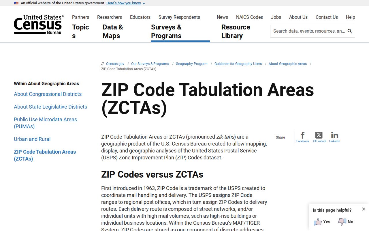
The Census explanation is why the 41051 population can exceed the incorporated Independence count without either number being wrong.
Keep the data vintage attached to every comparison. Census QuickFacts reports the incorporated place, while a ZCTA profile reports the statistical postal approximation. Independence also expanded through annexation over several decades, so a historical city figure and a current postal-area figure answer different questions. The safest ZIP code directory entry labels the source, year, and geography beside the number. It should never turn a population difference into an estimate of how many residents live beyond the city line.
The same rule applies to future development. Kenton County announced a 225-acre park project in Independence near Lincoln Ridge Park and the former Fox Run Golf Course in 2026. Planning, contract, parcel, meeting, and permit records will describe that land through agency boundaries and site addresses, while mail will still follow USPS routing. A new civic project does not redraw a postal area by itself. Check later addresses through USPS, then compare parcel and city layers as the project is built.
Independence ZIP and City Limits
The 41051 postal area and Independence city limits are not interchangeable. Some 41051 addresses can sit outside the incorporated city, and an edge property may use a neighboring postal city. Verify the delivery label through USPS, the city line through authoritative GIS or Census boundary data, and the parcel through PVA. No complete official list of out-of-city 41051 addresses was located.
An unresolved edge address should stay unresolved until the agencies answer it. Run USPS By Address, inspect the GIS city-boundary layer and parcel popup, and compare the PVA situs and mailing fields. Then check annexation history and road-name variants if an older source disagrees. This sequence separates a delivery label from municipal jurisdiction and assessed ownership.
- ZIP and ZIP+4
- A five-digit ZIP routes mail to an area. The extra four digits identify a finer delivery segment, not a person.
- PO-box ZIP
- A ZIP used mainly or only for post-office boxes rather than street delivery. None was confirmed for Independence.
- Unique ZIP
- A ZIP assigned to one high-volume organization or site. Research did not identify one in Independence.
- Carrier route
- The sequence or area served by a mail carrier. It is a delivery unit, not a city boundary.
Boundary check. A ZIP+4, parcel owner, or business address does not prove that a named person lives at an Independence property.